- Floor area
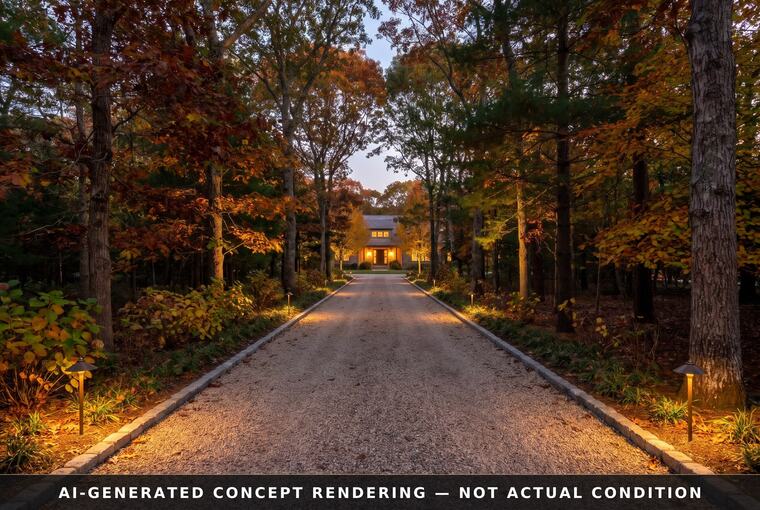
- 7% of lot area plus 1,500 square feet, never more than 10,000: 8,968 square feet on 106,680. Lot area leaves out land under a common driveway or access easement, so if the whole strip is excluded the number is 7,773. The recorded agreement for the drive settles which.
- What counts
- Every story, measured to the outside of the wall. Basements, attics and spaces under 5 feet do not count. Stairwells and rooms taller than 15 feet count twice. An attached garage counts above its first 600 square feet.
- Height
- 25 feet, or 32 feet to the peak of a gabled roof, with the eave plate no higher than 25. Two and a half stories. No point of the building may be taller than its distance from the nearest lot line.
- Setbacks
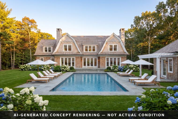
- Principal building: 30 feet from every side and rear line. A flag lot has no front yard from its interior lines. Accessory buildings: 20 feet. Pools, pool decks and pool equipment: 40 feet. By my read of the court setbacks, a tennis court does not fit this width without a variance.
- Coverage
- Buildings: 10% of lot area or 9,999 square feet, whichever is less (8,962 if the strip is excluded). Everything, drive and terraces included: 35%, about 37,338 square feet.
- Clearing
- For a lot this size the base rule is 10,000 square feet plus 25% of lot area, with the flag strip left out of the area and drive clearing in the strip not counted: about 32,400 square feet. Lots in the Water Recharge or Harbor Protection overlay follow different limits, and I have not confirmed the overlay here.
- District
- Older Town maps show A3, with A5 proposed in 2005. I have not confirmed the current district. The setbacks and coverage above come from Part I of the table, which goes by lot size.
Town of East Hampton Code, Chapter 255: § 255-11-10 (dimensional table, Parts I and II), § 255-11-72 (height), § 255-1-20 (definitions), § 255-2-60 (clearing), current through June 2026. The Town’s dimensional table (PDF). This is my reading as the listing broker, not a zoning opinion; the Building Department decides.